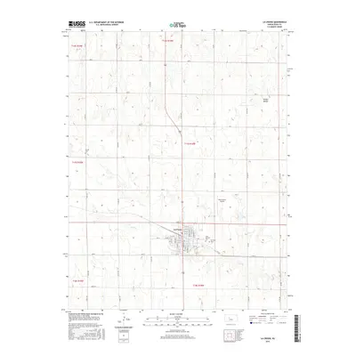
2015 Map of La Crosse
USGS Topo · Published 2015About this map
La Crosse serves as the focal point of this 2015 study, situated at the intersection of a grid-based rural road network and modern aviation facilities. The town's layout is defined by a dense residential core centered on Main St and 16th St, where local services and historical community foundations meet. The landscape surrounding the settlement is marked by numerous draws and intermittent drainage features like Sand Cr and the geographically distinct Hungry Hollow to the northeast. Genealogy and local history are anchored by three distinct burial grounds: Saint Michael's Cem and La Crosse Cem on the town’s eastern edge, and the more isolated Friends Cem to the northwest. These sites, along with the Rush County Airport, reflect a prairie community that maintains a balance between its traditional agrarian roots and its infrastructure for regional connectivity.
Find a feature on this map
43 named features on this map. Tap any name to fly to it.
Don’t see what you’re looking for? This feature index may not catch every label — zoom into the map to look around manually.
Map Details
Editions of this 2015 La Crosse Map
This is the sole edition of this map. No revisions or reprints were ever made.
Other maps of this area

1889 · Larned
USGS Topo · 1:125,000

1891 · Larned
USGS Topo · 1:125,000

1896 · Hays
USGS Topo · 1:125,000

1955 · Great Bend
USGS Topo · 1:250,000

1957 · Great Bend
USGS Topo · 1:250,000

1958 · Great Bend
USGS Topo · 1:250,000

1966 · Rush Center
USGS Topo · 1:24,000

1966 · Nekoma
USGS Topo · 1:24,000

1966 · La Crosse
USGS Topo · 1:24,000

1966 · Hargrave
USGS Topo · 1:24,000