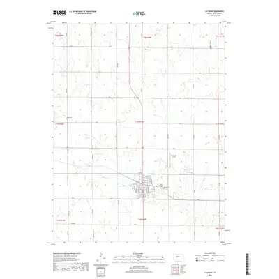
2018 Map of La Crosse
USGS Topo · Published 2018About this map
La Crosse sits as a central hub for Rush County, oriented around a grid of streets including Main St and 16th St. The settlement serves the surrounding agricultural landscape, which is carved by the drainages of Sand Creek and Mule Creek. Local heritage is anchored by several burial grounds, from the Saint Michaels Cem and La Crosse Cem on the town's eastern edge to the more remote Friends Cem located to the northwest. The terrain's character is further defined by Hungry Hollow in the northeast and the wide sections of open prairie divided by county roads like CR 250. Modern infrastructure like the Rush County Airport reflects the continued utility of this High Plains community, while the preserved section-line road network demonstrates the enduring influence of the original land surveys on the modern Kansas landscape.
Find a feature on this map
54 named features on this map. Tap any name to fly to it.
Don’t see what you’re looking for? This feature index may not catch every label — zoom into the map to look around manually.
Map Details
Editions of this 2018 La Crosse Map
This is the sole edition of this map. No revisions or reprints were ever made.
Other maps of this area

1889 · Larned
USGS Topo · 1:125,000

1891 · Larned
USGS Topo · 1:125,000

1896 · Hays
USGS Topo · 1:125,000

1955 · Great Bend
USGS Topo · 1:250,000

1957 · Great Bend
USGS Topo · 1:250,000

1958 · Great Bend
USGS Topo · 1:250,000

1966 · Rush Center
USGS Topo · 1:24,000

1966 · Nekoma
USGS Topo · 1:24,000

1966 · La Crosse
USGS Topo · 1:24,000

1966 · Hargrave
USGS Topo · 1:24,000