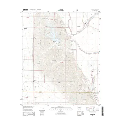
2014 Map of La Grange
USGS Topo · Published 2014About this map
St. Francis National Forest dominates the terrain of this Mississippi Delta region, where the steep loess bluffs of Crowley's Ridge meet the alluvial bottomlands. The settlement of Lagrange sits at the western edge of the forest, while small communities like Jeffersonville and Phillips Bayou are situated near the winding course of the Saint Francis River. This survey captures the complex hydrology of the area, featuring numerous oxbows and river bends such as Jeffersonville Bend and Hale Bend.
Find a feature on this map
76 named features on this map. Tap any name to fly to it.
Don’t see what you’re looking for? This feature index may not catch every label — zoom into the map to look around manually.
Map Details
Editions of this 2014 La Grange Map
This is the sole edition of this map. No revisions or reprints were ever made.
Other maps of this area

1939 · Park Place
USGS Topo · 1:62,500

1939 · Latour
USGS Topo · 1:62,500

1940 · Marvell
USGS Topo · 1:62,500

1940 · Marianna
USGS Topo · 1:62,500

1948 · Helena
USGS Topo · 1:250,000

1950 · Helena
USGS Topo · 1:250,000

1955 · Park Place
USGS Topo · 1:62,500

1955 · Latour
USGS Topo · 1:62,500

1955 · Helena
USGS Topo · 1:250,000

1956 · Marvell
USGS Topo · 1:62,500