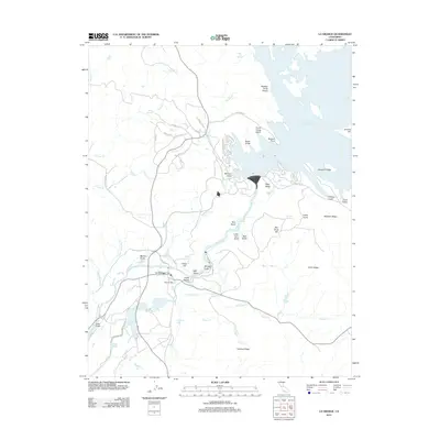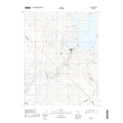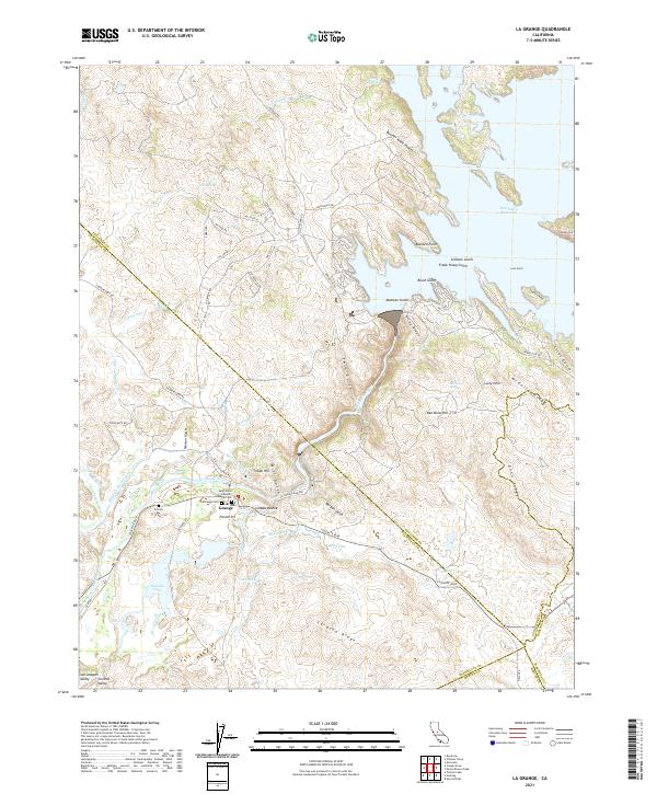
2021 Map of La Grange
USGS Topo · Published 2021About this map
The Tuolumne River corridor near La Grange serves as the focal point for this landscape, where the Sierra Nevada foothills meet the eastern edge of the San Joaquin Valley. The terrain is deeply inscribed with hydraulic and agricultural history, visible in the complex network of the Modesto Main Canal and Upper Main Canal. These waterways underscore the region's transition from early gold mining roots to a managed irrigation economy. Local genealogy is well-represented by several burial sites, including the French Bar Cem and the Saint Louis Catholic Mission Cem. To the north and east, the massive reach of the Don Pedro Reservoir dominates the topography, its many fingers like Butcher Knife Pocket and Gillman Gulch carving into the ridges. The map also documents named landmarks like Indian Hill and the French Pit, reflecting a landscape heavily shaped by both natural erosion and human extraction.
Find a feature on this map
76 named features on this map. Tap any name to fly to it.
Don’t see what you’re looking for? This feature index may not catch every label — zoom into the map to look around manually.
Map Details
Editions of this 2021 La Grange Map
This is the sole edition of this map. No revisions or reprints were ever made.
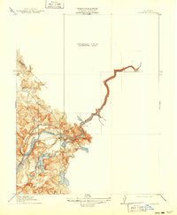
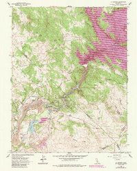
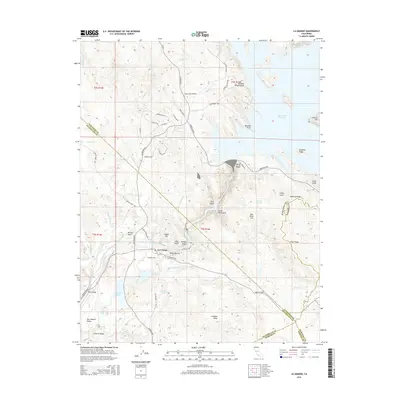
Historical Maps of La Grange Through Time
7 maps found