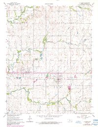
1965 Map of La Harpe
USGS Topo · Published 1984About this map
La Harpe and the nearby town of Gas anchor this mid-1960s Allen County landscape, situated amidst a transition from rail-dependent industry to modern infrastructure. The map reveals the path of the Old Railroad Grade, which is noted as Abandoned at several points, reflecting the decline of rail transit in the region during this era. Industrial activity is evidenced by scattered Quarries and a significant Oil and Gas Field in the southeastern quadrant, which is interlaced with a Pipeline network.
Find a feature on this map
18 named features on this map. Tap any name to fly to it.
Don’t see what you’re looking for? This feature index may not catch every label — zoom into the map to look around manually.
Map Details
Editions of this 1965 La Harpe Map
2 editions found
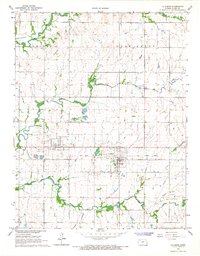
Other maps of this area

1885 · Garnett
USGS Topo · 1:125,000

1886 · Iola
USGS Topo · 1:125,000

1893 · Iola
USGS Topo · 1:125,000

1894 · Garnett
USGS Topo · 1:125,000

1904 · Iola
USGS Topo · 1:125,000

1947 · Lawrence
USGS Topo · 1:250,000

1947 · Joplin
USGS Topo · 1:250,000

1949 · Joplin
USGS Topo · 1:250,000

1950 · Lawrence
USGS Topo · 1:250,000

1954 · Joplin
USGS Topo · 1:250,000