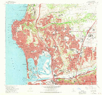
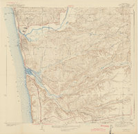
1967 Map of La Jolla
USGS Topo · Published 1970About this map
San Diego is portrayed here during a period of massive mid-century suburban expansion, showing the dense residential growth of Clairemont, Linda Vista, and Serra Mesa before they were fully built out. The coastal geography is dominated by the complex waterways of Mission Bay, including Fiesta Island and Vacation Isle, which reflect the area's transformation into a major recreation hub. Higher education and research are central to the landscape, anchored by the University of California San Diego and the Scripps Institution of Oceanography along the northern coast. To the east, the Miramar Naval Air Station and the Atchison Topeka and Santa Fe railroad indicate the critical roles of military presence and transit infrastructure. This map captures the city just as the modern freeway system, including the San Diego Freeway and Cabrillo Freeway, was redefining connectivity between historic neighborhoods like Old Town and the rising University City.
Find a feature on this map
95 named features on this map. Tap any name to fly to it.
Don’t see what you’re looking for? This feature index may not catch every label — zoom into the map to look around manually.
Map Details
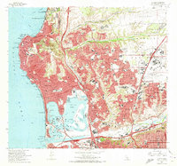
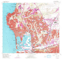
Editions of this 1967 La Jolla Map
3 editions found
Other maps of this area

1903 · La Jolla
USGS Topo · 1:62,500

1904 · San Diego
USGS Topo · 1:62,500

1904 · Southern California Sheet No. 2
USGS Topo · 1:250,000

1930 · La Jolla
USGS Topo · 1:62,500

1930 · San Diego
USGS Topo · 1:62,500

1942 · Poway Valley
USGS Topo · 1:31,680
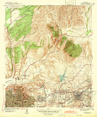
1942 · La Mesa
USGS Topo · 1:31,680

1942 · Point Loma
USGS Topo · 1:31,680
1943 · Del Mar
USGS Topo · 1:31,680

1943 · La Jolla
USGS Topo · 1:31,680