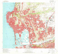
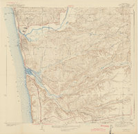
1967 Map of La Jolla
USGS Topo · Published 1973About this map
The coast of San Diego underwent significant post-war expansion by the late 1960s, visible here in the dense residential growth of Clairemont and North Clairemont east of the newly established Interstate Freeway 5. This era captures a fully developed Mission Bay, transformed into a recreational hub featuring Fiesta Island, Sea World Aquatic Park, and the International Arena. The map provides a detailed view of the regional educational and military footprint, from the coastal Scripps Institution of Oceanography and University of California San Diego to the inland Naval Air Station Miramar.
Find a feature on this map
162 named features on this map. Tap any name to fly to it.
Don’t see what you’re looking for? This feature index may not catch every label — zoom into the map to look around manually.
Map Details
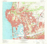
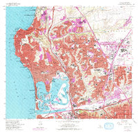
Editions of this 1967 La Jolla Map
3 editions found
Other maps of this area

1903 · La Jolla
USGS Topo · 1:62,500

1904 · San Diego
USGS Topo · 1:62,500

1904 · Southern California Sheet No. 2
USGS Topo · 1:250,000

1930 · La Jolla
USGS Topo · 1:62,500

1930 · San Diego
USGS Topo · 1:62,500

1942 · Poway Valley
USGS Topo · 1:31,680
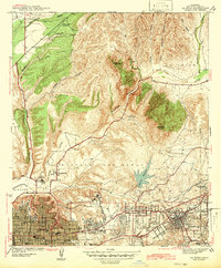
1942 · La Mesa
USGS Topo · 1:31,680

1942 · Point Loma
USGS Topo · 1:31,680
1943 · Del Mar
USGS Topo · 1:31,680

1943 · La Jolla
USGS Topo · 1:31,680