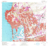
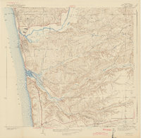
1967 Map of La Jolla
USGS Topo · Published 1978About this map
La Jolla and the surrounding northern San Diego coastline appear in a state of rapid suburban expansion during the late 1960s and mid-1970s. The landscape is anchored by major institutional and military footprints, including the University of California San Diego and the sprawling Naval Air Station Miramar. Purple revisions highlight the growth of residential neighborhoods like University City and North Clairemont as they filled the mesas between Rose Canyon and Clemente Canyon.
Find a feature on this map
142 named features on this map. Tap any name to fly to it.
Don’t see what you’re looking for? This feature index may not catch every label — zoom into the map to look around manually.
Map Details
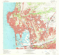
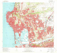
Editions of this 1967 La Jolla Map
3 editions found
Other maps of this area

1903 · La Jolla
USGS Topo · 1:62,500

1904 · San Diego
USGS Topo · 1:62,500

1904 · Southern California Sheet No. 2
USGS Topo · 1:250,000

1930 · La Jolla
USGS Topo · 1:62,500

1930 · San Diego
USGS Topo · 1:62,500

1942 · Poway Valley
USGS Topo · 1:31,680
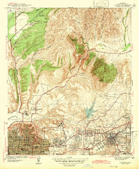
1942 · La Mesa
USGS Topo · 1:31,680

1942 · Point Loma
USGS Topo · 1:31,680
1943 · Del Mar
USGS Topo · 1:31,680

1943 · La Jolla
USGS Topo · 1:31,680