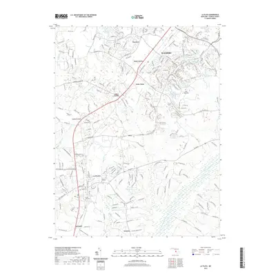
2019 Map of La Plata
USGS Topo · Published 2019About this map
La Plata serves as the focal point of this 2019 survey, showing the modern suburban and commercial expansion in central Charles County. The landscape is defined by the contrast between organized residential developments like Halley Estates and Saint Charles and the sprawling wetland networks of the Zekiah Swamp and Kerrick Swamp to the east. These wetlands, including Jordan Swamp, represent a significant environmental footprint that has historically shaped the local road and rail patterns.
Find a feature on this map
212 named features on this map. Tap any name to fly to it.
Don’t see what you’re looking for? This feature index may not catch every label — zoom into the map to look around manually.
Map Details
Editions of this 2019 La Plata Map
This is the sole edition of this map. No revisions or reprints were ever made.
Other maps of this area

1889 · Fredericksburg
USGS Topo · 1:125,000

1890 · Mt. Vernon
USGS Topo · 1:125,000

1891 · Mt. Vernon
USGS Topo · 1:125,000

1892 · Fredericksburg
USGS Topo · 1:125,000

1892 · Brandywine
USGS Topo · 1:62,500

1894 · Wicomico
USGS Topo · 1:62,500

1894 · Fredericksburg
USGS Topo · 1:125,000

1894 · Mt. Vernon
USGS Topo · 1:125,000

1895 · Wicomico
USGS Topo · 1:62,500

1895 · Brandywine
USGS Topo · 1:62,500