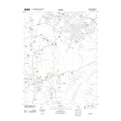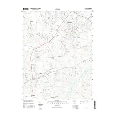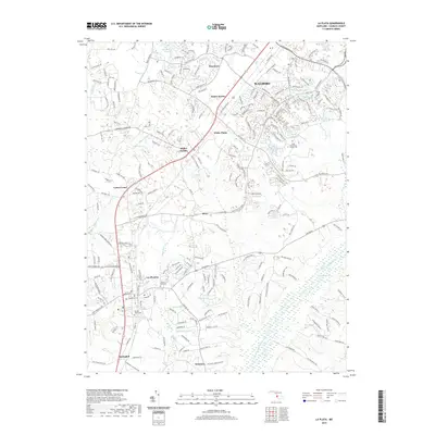
2023 Map of La Plata
USGS Topo · Published 2023About this map
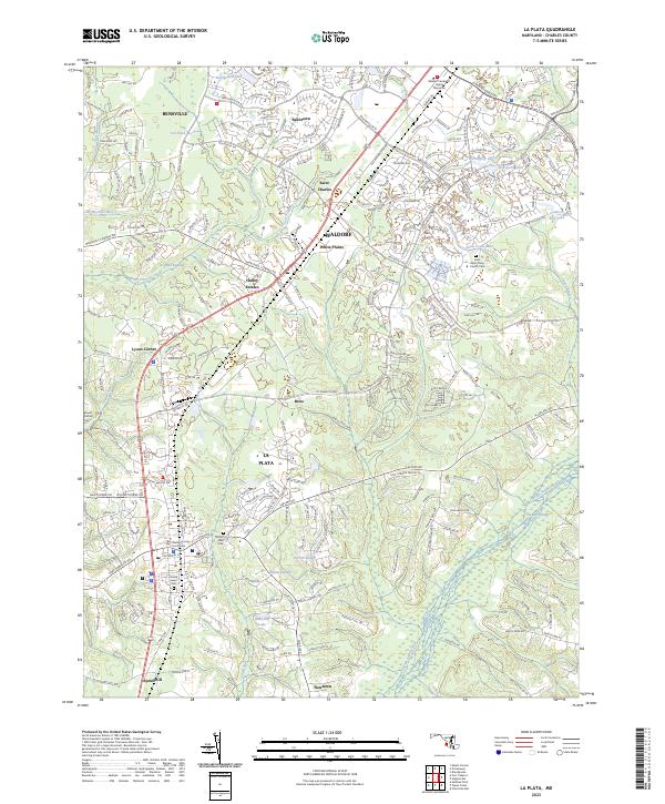
La Plata serves as a primary hub for this portion of Charles County, centered around the Charles County Courthouse and numerous surrounding institutional sites. This contemporary survey captures the dense residential and commercial expansion of Waldorf and Saint Charles to the north, contrasting with the sprawling hydrology of the Zekiah Swamp that dominates the eastern terrain. Family history researchers will find significant value in the mapped locations of several religious and community burial grounds, including the Saint Pauls Piney Church Cem, Mount Rest Cem, and Sacred Heart Cem. The landscape transitions from the developed corridors of Bensville and White Plains into the wooded wetlands of Jordan Swamp and Kerrick Swamp, illustrating the modern balance between suburban growth and the persistent coastal plain environment.
Find a feature on this map
229 named features on this map. Tap any name to fly to it.
Don’t see what you’re looking for? This feature index may not catch every label — zoom into the map to look around manually.
Map Details
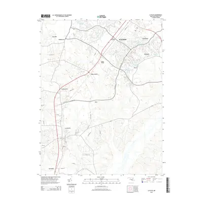
Editions of this 2023 La Plata Map
This is the sole edition of this map. No revisions or reprints were ever made.
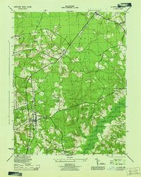
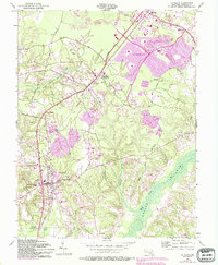
Historical Maps of La Plata Through Time
7 maps found