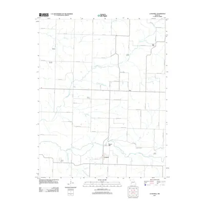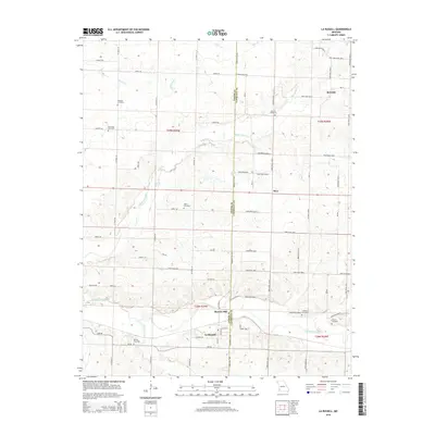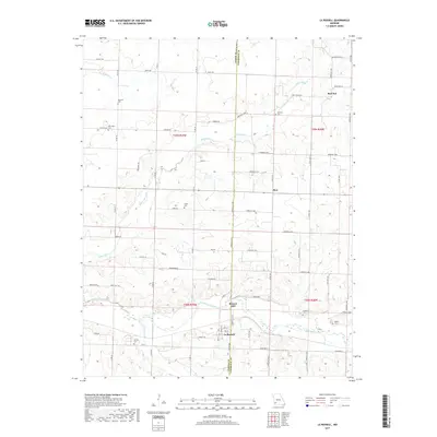
1971 Map of La Russell
USGS Topo · Published 1973About this map
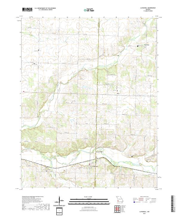
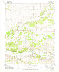
The Spring River valley defines the southern portion of this landscape, where the Missouri Pacific railroad line runs parallel to the water through the settlement of La Russell. This 1971 survey captures a rural environment structured by early milling and agriculture, notably at Bowers Mill and the crossroads of Plew. The area is densely marked with family and community landmarks that offer significant value for genealogical research, including the Stemons, McCune, and Langston cemeteries. Small country churches such as White Oak Ch and Blake Ch are scattered across the townships of McDonald and Red Oak, reflecting the established social fabric of the Jasper and Lawrence County border. A Gaging Station on the river and a Quarry near the center of the sheet highlight the local intersection of natural resources and infrastructure.
Find a feature on this map
30 named features on this map. Tap any name to fly to it.
Don’t see what you’re looking for? This feature index may not catch every label — zoom into the map to look around manually.
Map Details
Editions of this 1971 La Russell Map
This is the sole edition of this map. No revisions or reprints were ever made.
Historical Maps of La Russell Through Time
5 maps found