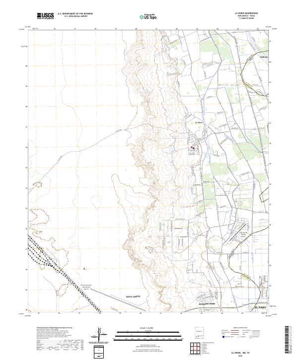
2023 Map of La Union
USGS Topo · Published 2023About this map
Mesilla Valley agriculture and desert expansion define this borderland landscape where the Rio Grande flows southward along the New Mexico and Texas state line. The community of La Union serves as a central hub, surrounded by a complex network of irrigation and drainage infrastructure including the La Union West Lateral, Talbot Lateral, and West Drain. This system of canals and laterals illustrates the intensive water management required for farming in the arid Rio Grande basin.
Find a feature on this map
122 named features on this map. Tap any name to fly to it.
Don’t see what you’re looking for? This feature index may not catch every label — zoom into the map to look around manually.
Map Details
Editions of this 2023 La Union Map
This is the sole edition of this map. No revisions or reprints were ever made.
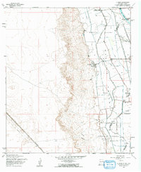
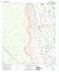
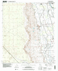
Historical Maps of El Paso Through Time
4 maps found