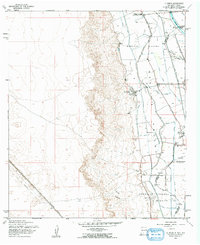
1955 Map of La Union
USGS Topo · Published 1962About this map
Mesilla Valley irrigation patterns define this mid-century landscape along the Rio Grande, where an intricate network of water management features like the West Side Canal and Nemexas Drain support the local agricultural economy. The settlement of La Union serves as a central hub, accompanied by the Refugio Colony and the nascent development at Santa Teresa. This survey, based on 1954 aerial photography, shows the critical transition from the river bottom to the high desert mesas, marked by the Southern Pacific railroad line and the New Mexico Road.
Find a feature on this map
26 named features on this map. Tap any name to fly to it.
Don’t see what you’re looking for? This feature index may not catch every label — zoom into the map to look around manually.
Map Details
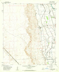
Editions of this 1955 La Union Map
2 editions found
Other maps of this area

1891 · Las Cruces
USGS Topo · 1:125,000

1893 · Las Cruces
USGS Topo · 1:125,000

1917 · Canutillo
USGS Topo · 1:62,500

1917 · Noria
USGS Topo · 1:62,500

1918 · Noria
USGS Topo · 1:62,500

1919 · Canutillo
USGS Topo · 1:62,500

1943 · La Mesa
USGS Topo · 1:62,500

1943 · Afton
USGS Topo · 1:62,500

1953 · El Paso
USGS Topo · 1:250,000
1955 · Smeltertown
USGS Topo · 1:24,000