
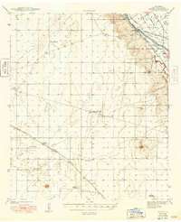
1943 Map of Afton
USGS Topo · Published 1943About this map
The Rio Grande and its intricate network of irrigation ditches define the eastern edge of this landscape, where the Mesilla Valley supports the historic agricultural lands of the Mesilla Civil Colony and Santo Tomas De Yturbide Colony. Managed by the Mesilla Dam, a complex system of waterworks including the West Side Canal, Del Rio Ditch, and Park Lateral feeds the valley floor.
Find a feature on this map
29 named features on this map. Tap any name to fly to it.
Don’t see what you’re looking for? This feature index may not catch every label — zoom into the map to look around manually.
Map Details
Editions of this 1943 Afton Map
3 editions found
Other maps of this area

1891 · Las Cruces
USGS Topo · 1:125,000

1893 · Las Cruces
USGS Topo · 1:125,000

1917 · Canutillo
USGS Topo · 1:62,500

1917 · Noria
USGS Topo · 1:62,500

1917 · Mt. Riley
USGS Topo · 1:62,500

1918 · Mt. Riley
USGS Topo · 1:62,500

1918 · Noria
USGS Topo · 1:62,500

1919 · Canutillo
USGS Topo · 1:62,500

1929 · Mt. Riley
USGS Topo · 1:62,500

1941 · Las Cruces
USGS Topo · 1:62,500