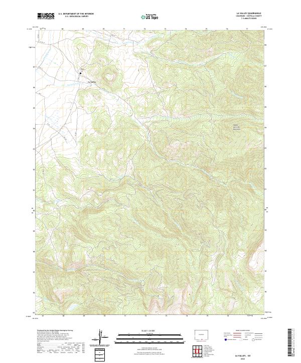
2022 Map of La Valley
USGS Topo · Published 2022About this map
San Francisco Cem serves as a localized historical anchor for the small settlement of La Valley, situated where the high-altitude watercourses descend from the western slopes of the Sangre de Cristo Mountains. This landscape is defined by its complex drainage network, where numerous creeks such as San Francisco Cr, Vallejos Cr, and Alamosito Cr flow toward the San Luis Valley floor. The presence of the Sanchez Canal in the northwest corner reflects the region's reliance on managed water systems to support life and agriculture in this arid high-mountain environment.
Find a feature on this map
22 named features on this map. Tap any name to fly to it.
Don’t see what you’re looking for? This feature index may not catch every label — zoom into the map to look around manually.
Map Details
Editions of this 2022 La Valley Map
This is the sole edition of this map. No revisions or reprints were ever made.
Other maps of this area

1954 · Raton
USGS Topo · 1:250,000

1954 · Trinidad
USGS Topo · 1:250,000

1955 · Trinidad
USGS Topo · 1:250,000

1958 · Raton
USGS Topo · 1:250,000

1958 · Trinidad
USGS Topo · 1:250,000

1959 · Trinidad
USGS Topo · 1:250,000

1962 · Ash Mountain
USGS Topo · 1:62,500

1963 · Amalia
USGS Topo · 1:24,000

1963 · Big Costilla Peak
USGS Topo · 1:24,000

1967 · San Luis
USGS Topo · 1:24,000