2022 Map of Labette
USGS Topo · Published 2022About this map
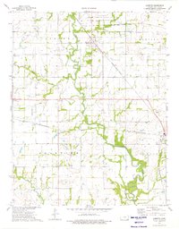
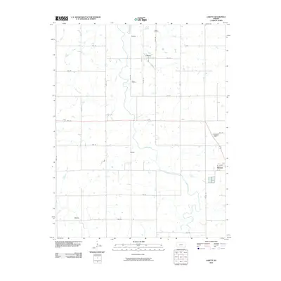
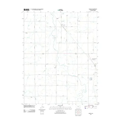
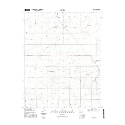
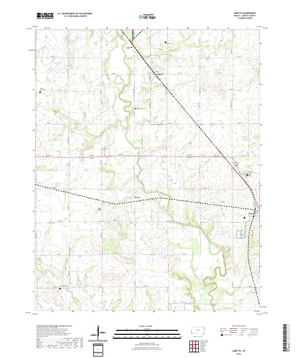
Labette Creek and its tributaries wind through a landscape defined by the rigid grid of section-line roads and small farming communities in this southeastern Kansas survey. The settlement of Labette serves as a central point, with its street names like Walnut St and Pecan indicating the local importance of these groves. To the southeast, the larger town of Oswego sits near the eastern edge of the quadrangle, while smaller locales like Garvin and Stover are primarily defined by their road junctions.
Find a feature on this map
44 named features on this map. Tap any name to fly to it.
Don’t see what you’re looking for? This feature index may not catch every label — zoom into the map to look around manually.
Map Details
Editions of this 2022 Labette Map
This is the sole edition of this map. No revisions or reprints were ever made.
Historical Maps of Oswego Through Time
6 maps found