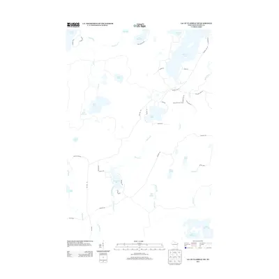
2013 Map of Lac du Flambeau SW
USGS Topo · Published 2013About this map
The Squirrel Hill Lookout Tower stands as a prominent local landmark in this Northwoods landscape, overlooking a dense network of glacial lakes and winding waterways. This 2013 survey reveals the intricate hydrography of Oneida County, centered on the expansive Squirrel Lake and the northern reaches of the Willow Reservoir. The region is defined by its recreation-driven geography, with numerous smaller water bodies such as Great Bass Lake, Stone Lake, and Swamsauger Lake interconnected by seasonal creeks and unpaved access roads like Squirrel Lake Rd and Manhardt Rd. The presence of Camp Fifteen Springs and various named trails, including the Yukon Trl, suggests a landscape dedicated to seasonal residence and timber management. Along the western edge, the headwaters of Buckskin Cr and Swamsauger Cr drain through wetlands, illustrating the natural drainage patterns of this lake-studded terrain before it reaches the larger reservoirs to the south.
Find a feature on this map
49 named features on this map. Tap any name to fly to it.
Don’t see what you’re looking for? This feature index may not catch every label — zoom into the map to look around manually.
Map Details
Editions of this 2013 Lac du Flambeau SW Map
This is the sole edition of this map. No revisions or reprints were ever made.
Other maps of this area

1938 · Lac Du Flambeau
USGS Topo · 1:48,000

1939 · Lac Du Flambeau
USGS Topo · 1:48,000

1939 · Mc Cord
USGS Topo · 1:48,000

1941 · Pike Lake
USGS Topo · 1:48,000

1941 · Brantwood
USGS Topo · 1:48,000

1942 · Pike Lake
USGS Topo · 1:48,000

1943 · Brantwood
USGS Topo · 1:48,000

1946 · Lac Du Flambeau
USGS Topo · 1:48,000

1947 · Mc Cord
USGS Topo · 1:48,000

1950 · Pike Lake
USGS Topo · 1:48,000