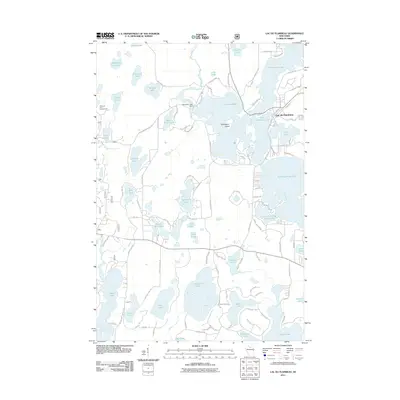
2011 Map of Lac du Flambeau
USGS Topo · Published 2011About this map
Lac du Flambeau serves as the focal point of this lakeside landscape, positioned at the edge of the Flambeau Lake and Long Interlaken Lake chain. The region is defined by an intricate network of glacial lakes and wetlands, including the prominent Strawberry Island and the Flambeau Lake Dam which regulates the local waters. The geography of the Indian Reservation is traced by historic routes such as Old Indian Village Rd and Indian Village Rd, reflecting the cultural heritage of the area.
Find a feature on this map
107 named features on this map. Tap any name to fly to it.
Don’t see what you’re looking for? This feature index may not catch every label — zoom into the map to look around manually.
Map Details
Editions of this 2011 Lac du Flambeau Map
This is the sole edition of this map. No revisions or reprints were ever made.
Other maps of this area

1938 · Lac Du Flambeau
USGS Topo · 1:48,000

1939 · Lac Du Flambeau
USGS Topo · 1:48,000

1939 · Winchester
USGS Topo · 1:48,000

1940 · Mercer
USGS Topo · 1:48,000

1941 · Pike Lake
USGS Topo · 1:48,000

1942 · Pike Lake
USGS Topo · 1:48,000

1945 · Mercer
USGS Topo · 1:48,000

1946 · Winchester
USGS Topo · 1:48,000

1946 · Lac Du Flambeau
USGS Topo · 1:48,000

1947 · Mercer
USGS Topo · 1:48,000