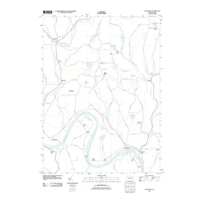
2010 Map of Laceyville
USGS Topo · Published 2010About this map
The Susquehanna River carves a deep, serpentine path through the heart of this Susquehanna Valley landscape, creating distinct geographic features like the sharp river loop at Quicks Bend and the low-lying North Flat. Settled communities such as Laceyville and Skinners Eddy cluster along the southern riverbanks, while smaller hamlets like Camptown and Merryall are situated along the northern tributaries. The terrain is defined by significant elevations, including Browntown Mountain and Huff Hill, which overlook a network of creeks and small upland ponds like Tewksbury Pond. Genealogy and local history are well-represented by numerous family and community burial grounds, including the Lyons Cemetery, Beaver Meadow Cemetery, and Lacey Street Cemetery. This map captures a rural Pennsylvania landscape where traditional water-dependent settlements and highland farmsteads persist alongside modern infrastructure like the Mill Creek Dam.
Find a feature on this map
92 named features on this map. Tap any name to fly to it.
Don’t see what you’re looking for? This feature index may not catch every label — zoom into the map to look around manually.
Map Details
Editions of this 2010 Laceyville Map
This is the sole edition of this map. No revisions or reprints were ever made.
Other maps of this area

1923 · Towanda
USGS Topo · 1:62,500

1926 · Towanda
USGS Topo · 1:62,500

1943 · Towanda
USGS Topo · 1:62,500

1943 · Monroeton
USGS Topo · 1:62,500

1943 · Le Raysville
USGS Topo · 1:62,500

1945 · Le Raysville
USGS Topo · 1:62,500

1945 · Meshoppen
USGS Topo · 1:62,500

1945 · Auburn Center
USGS Topo · 1:24,000

1945 · Jenningsville
USGS Topo · 1:24,000

1945 · Meshoppen
USGS Topo · 1:24,000
Featured Places
- Wilmot Township, PA
- Laceyville, PA
- Stevens Township, PA
- Spring Hill, Tuscarora Township
- Silvara, Tuscarora Township