
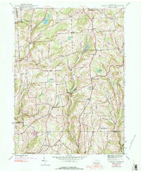
1945 Map of Auburn Center
USGS Topo · Published 1956About this map
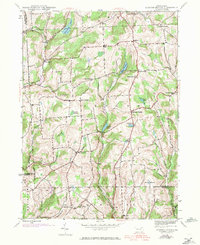
The rolling dairy and timberlands of Susquehanna County are defined here by a network of crossroad hamlets and family-named ridges during the mid-1940s. Centered on Auburn Center, the landscape is dotted with rural institutions including St Bonaventure Ch and Jersey Hill Ch, reflecting the religious and social foundations of the local farming community. The topography is marked by glacial features such as Tuscarora Lake and numerous kettle ponds like Lott Pond and Carlin Pond, which feed the many branches of Meshoppen Creek.
Find a feature on this map
46 named features on this map. Tap any name to fly to it.
Don’t see what you’re looking for? This feature index may not catch every label — zoom into the map to look around manually.
Map Details
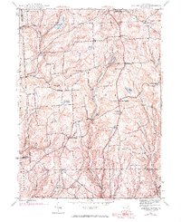
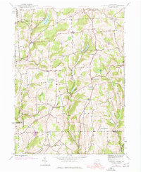
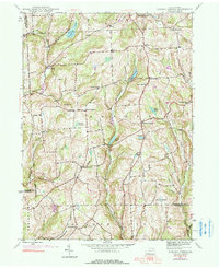
Editions of this 1945 Auburn Center Map
6 editions found
Other maps of this area

1943 · Montrose
USGS Topo · 1:62,500

1943 · Le Raysville
USGS Topo · 1:62,500

1945 · Montrose
USGS Topo · 1:62,500

1945 · Le Raysville
USGS Topo · 1:62,500

1945 · Meshoppen
USGS Topo · 1:62,500

1945 · Jenningsville
USGS Topo · 1:24,000

1945 · Meshoppen
USGS Topo · 1:24,000

1945 · Laceyville
USGS Topo · 1:24,000

1946 · Tunkhannock
USGS Topo · 1:62,500

1946 · Springville
USGS Topo · 1:24,000
Featured Places
- Rush Township, PA
- Scranton Corners, Meshoppen Township
- Auburn Center, PA
- Stevens Township, PA
- Tuscarora Township, PA