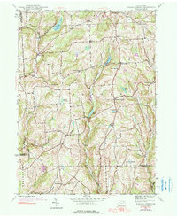
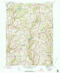
1945 Map of Auburn Center
USGS Topo · Published 1990About this map
The hills of Auburn and Rush townships are defined by a high plateau landscape deeply incised by the drainage of Little Meshoppen Creek and Tuscarora Creek. This 1945 survey, updated with 1969 aerial photography, reveals a dispersed settlement pattern centered on crossroads such as Auburn Center, Rushboro, and West Auburn. Family history value is found in the naming of local intersections like Chase Corners and Carter Corners, alongside spiritual hubs including St Bonaventure Ch and Jersey Hill Ch. To the north, Tuscarora Lake serves as a major water feature, while the southern reaches of the quadrangle include an Airway Beacon near Bunnell Hill Ch, reflecting mid-century navigation infrastructure. The map clearly delineates the tri-county borders where Bradford, Susquehanna, and Wyoming counties converge amidst marshes like Robert Swamp.
Find a feature on this map
43 named features on this map. Tap any name to fly to it.
Don’t see what you’re looking for? This feature index may not catch every label — zoom into the map to look around manually.
Map Details
Editions of this 1945 Auburn Center Map
6 editions found
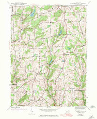
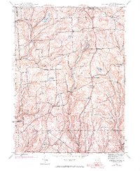
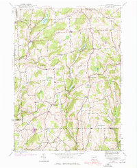
Other maps of this area

1943 · Montrose
USGS Topo · 1:62,500

1943 · Le Raysville
USGS Topo · 1:62,500

1945 · Montrose
USGS Topo · 1:62,500

1945 · Le Raysville
USGS Topo · 1:62,500

1945 · Meshoppen
USGS Topo · 1:62,500

1945 · Auburn Center
USGS Topo · 1:24,000

1945 · Jenningsville
USGS Topo · 1:24,000

1945 · Meshoppen
USGS Topo · 1:24,000

1945 · Laceyville
USGS Topo · 1:24,000

1946 · Tunkhannock
USGS Topo · 1:62,500
Featured Places
- Rush Township, PA
- Scranton Corners, Meshoppen Township
- Auburn Center, PA
- Stevens Township, PA
- Tuscarora Township, PA