
1946 Map of Tunkhannock
USGS Topo · Published 1952About this map
The Susquehanna River winds through this mid-century landscape, anchoring a network of rail lines and rural settlements across Wyoming and Susquehanna Counties. The transport economy of the era is evident in the dual rail infrastructure, featuring the Lehigh Valley RR and the Delaware Lackawanna and Western RR, which connected small hubs like Dimock Sta and Hopbottom (Foster Sta) to regional markets. Recreational and social landmarks punctuate the landscape, from the shores of Lake Carey and Lake Winola to St Andrews Camp.
Find a feature on this map
134 named features on this map. Tap any name to fly to it.
Don’t see what you’re looking for? This feature index may not catch every label — zoom into the map to look around manually.
Map Details
Editions of this 1946 Tunkhannock Map
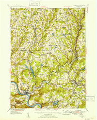
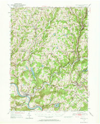
Other maps of this area

1889 · Scranton
USGS Topo · 1:62,500

1891 · Scranton
USGS Topo · 1:62,500

1891 · Harveys Lake
USGS Topo · 1:62,500

1892 · Dundaff
USGS Topo · 1:62,500

1893 · Harvey Lake
USGS Topo · 1:62,500

1893 · Pittston
USGS Topo · 1:62,500

1893 · Scranton
USGS Topo · 1:62,500

1932 · Susquehanna
USGS Topo · 1:62,500

1935 · Susquehanna
USGS Topo · 1:62,500

1943 · Scranton
USGS Topo · 1:125,000