
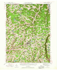
1943 Map of Montrose
USGS Topo · Published 1957About this map
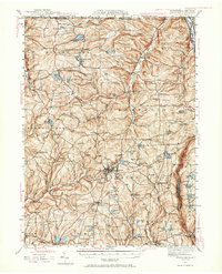
Montrose serves as the focal point of this northern Susquehanna County landscape, where the plateau terrain is etched by glacial lakes and a dense network of early schools and mills. The era's transportation geography is defined by the Lehigh Valley and Delaware Lackawanna and Western railroads, which connected rural agricultural outposts like Alford and South Montrose to regional markets. Numerous local landmarks, such as Booth Mill and Fisk Mill, highlight a decentralized economy tied to the region's watercourses like Silver Creek and Fall Brook. Local history is preserved in the detailed placement of rural institutions, including the Meshoppen Creek Ch and the Prospect Hill Cem, alongside a remarkable concentration of one-room schoolhouses like Meaker Lake Sch and Hamlin Sch.
Find a feature on this map
77 named features on this map. Tap any name to fly to it.
Don’t see what you’re looking for? This feature index may not catch every label — zoom into the map to look around manually.
Map Details
Editions of this 1943 Montrose Map
Other maps of this area

1892 · Dundaff
USGS Topo · 1:62,500

1901 · Apalachin
USGS Topo · 1:62,500

1904 · Binghamton
USGS Topo · 1:62,500

1904 · Apalachin
USGS Topo · 1:62,500

1905 · Nineveh
USGS Topo · 1:62,500

1906 · Catatonk
USGS Topo · 1:125,000

1932 · Susquehanna
USGS Topo · 1:62,500

1935 · Binghamton West
USGS Topo · 1:24,000

1935 · Susquehanna
USGS Topo · 1:62,500

1937 · Binghamton East
USGS Topo · 1:24,000