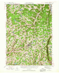
1943 Map of Montrose
USGS Topo · Published 1965About this map
Montrose serves as the focal point of this 1940s landscape, where the plateaus of Susquehanna County are etched by a dense network of creek branches. The industrial and transit corridor of the Susquehanna River is clearly defined in the northeast, where Hallstead and Great Bend sit along the Delaware Lackawanna and Western railroad. This rail artery stands in contrast to the rural character of the interior townships like Silver Lake and Franklin, which are dotted with one-room schoolhouses such as Fish Sch and Ward Sch.
Find a feature on this map
109 named features on this map. Tap any name to fly to it.
Don’t see what you’re looking for? This feature index may not catch every label — zoom into the map to look around manually.
Map Details
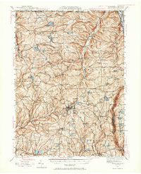
Editions of this 1943 Montrose Map

Other maps of this area

1892 · Dundaff
USGS Topo · 1:62,500

1901 · Apalachin
USGS Topo · 1:62,500

1904 · Binghamton
USGS Topo · 1:62,500

1904 · Apalachin
USGS Topo · 1:62,500

1905 · Nineveh
USGS Topo · 1:62,500

1906 · Catatonk
USGS Topo · 1:125,000

1932 · Susquehanna
USGS Topo · 1:62,500

1935 · Binghamton West
USGS Topo · 1:24,000

1935 · Susquehanna
USGS Topo · 1:62,500

1937 · Binghamton East
USGS Topo · 1:24,000