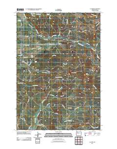
2011 Map of Lacomb
USGS Topo · Published 2011About this map
Lacomb and the surrounding foothills of Linn County are defined by a complex network of waterways and irrigation infrastructure. The Lacomb Irrigation Canal winds through the landscape, supporting the local agricultural economy alongside prominent water features like the Hoerauf Reservoir and the Roaring River State Fish Hatchery. The map highlights historical landmarks of significance to local heritage, such as the Weddle Covered Bridge crossing Crabtree Creek and the Lacomb Cemetery situated near Clark Smith Dr.
Find a feature on this map
48 named features on this map. Tap any name to fly to it.
Don’t see what you’re looking for? This feature index may not catch every label — zoom into the map to look around manually.
Map Details
Editions of this 2011 Lacomb Map
This is the sole edition of this map. No revisions or reprints were ever made.
Other maps of this area

1921 · Brownsville
USGS Topo · 1:62,500

1921 · Lebanon
USGS Topo · 1:62,500

1922 · Lebanon
USGS Topo · 1:48,000

1924 · Lebanon
USGS Topo · 1:62,500

1940 · Lebanon
USGS Topo · 1:62,500

1944 · Lebanon
USGS Topo · 1:62,500

1950 · Brownsville
USGS Topo · 1:62,500

1951 · Sweet Home
USGS Topo · 1:62,500

1951 · Snow Peak
USGS Topo · 1:62,500

1952 · Brownsville
USGS Topo · 1:62,500