
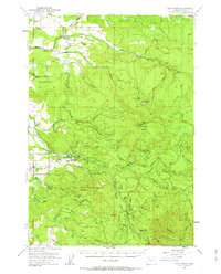
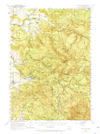
1951 Map of Snow Peak
USGS Topo · Published 1953About this map
Prospect Mountain and the towering Snow Peak define this 1950s landscape within the Willamette National Forest. This era of the Oregon Cascades foothills reveals a network of early logging and forestry infrastructure, including the Snow Peak Lookout, Snow Peak Camp, and the Crabtree Guard Sta. The map documents a transition between the wilder forest terrain and the agricultural settlements of Lacomb and Jordan further west.
Find a feature on this map
48 named features on this map. Tap any name to fly to it.
Don’t see what you’re looking for? This feature index may not catch every label — zoom into the map to look around manually.
Map Details
Editions of this 1951 Snow Peak Map
3 editions found
Other maps of this area

1921 · Brownsville
USGS Topo · 1:62,500

1921 · Lebanon
USGS Topo · 1:62,500

1922 · Lebanon
USGS Topo · 1:48,000

1924 · Lebanon
USGS Topo · 1:62,500

1925 · Stayton
USGS Topo · 1:62,500

1929 · Mill City
USGS Topo · 1:125,000

1934 · Mc Kenzie Bridge
USGS Topo · 1:96,000

1940 · Lebanon
USGS Topo · 1:62,500

1940 · Mc Kenzie Bridge
USGS Topo · 1:125,000

1941 · Stayton
USGS Topo · 1:62,500