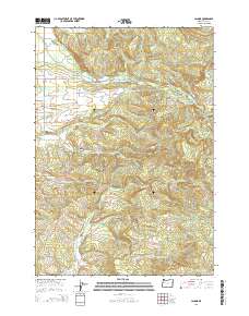
2014 Map of Lacomb
USGS Topo · Published 2014About this map
Lacomb sits at the base of the Cascades' western foothills, where the rural landscape transitions from the flat valley floor to the timbered slopes of Round Mtn and Green Mtn. This 2014 survey documents the complex water management of the region, anchored by the Lacomb Irrigation Canal and the upper reaches of Crabtree Creek and Hamilton Creek. Cultural landmarks reflect the area's pioneer heritage and mid-valley agricultural roots, specifically the Weddle Covered Bridge and the Lacomb Cemetery. The map details a network of rural routes such as Snow Peak Dr and Fish Hatchery Dr, tracing the ways early timber and farming families navigated the drainages of Beaver Creek and Roaring River. Small-scale features like Hodges Spring and the site of Fords Mill provide specific points of interest for local historians and genealogists researching the residents along the Berlin Ridge.
Find a feature on this map
51 named features on this map. Tap any name to fly to it.
Don’t see what you’re looking for? This feature index may not catch every label — zoom into the map to look around manually.
Map Details
Editions of this 2014 Lacomb Map
This is the sole edition of this map. No revisions or reprints were ever made.
Other maps of this area
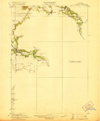
1921 · Brownsville
USGS Topo · 1:62,500
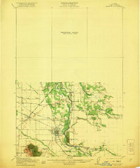
1921 · Lebanon
USGS Topo · 1:62,500
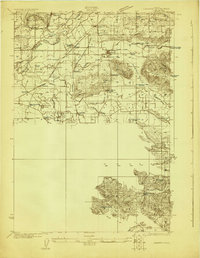
1922 · Lebanon
USGS Topo · 1:48,000
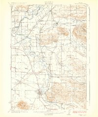
1924 · Lebanon
USGS Topo · 1:62,500
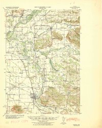
1940 · Lebanon
USGS Topo · 1:62,500
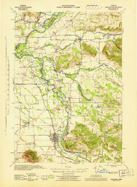
1944 · Lebanon
USGS Topo · 1:62,500
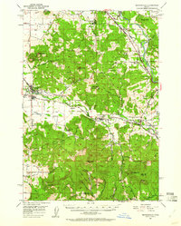
1950 · Brownsville
USGS Topo · 1:62,500
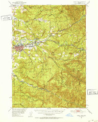
1951 · Sweet Home
USGS Topo · 1:62,500
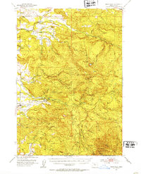
1951 · Snow Peak
USGS Topo · 1:62,500
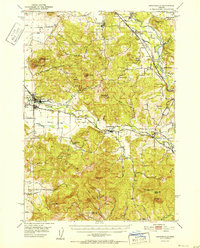
1952 · Brownsville
USGS Topo · 1:62,500