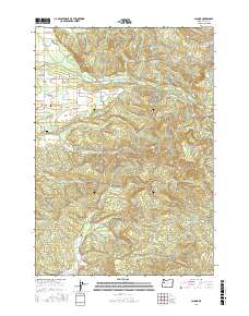
2017 Map of Lacomb
USGS Topo · Published 2017About this map
Lacomb and the historic Fords Mill anchor this landscape in Linn County, where the foothills of the Cascades meet the drainage basins of the Willamette Valley. The geography is defined by a dense network of watercourses, including the westward-flowing Crabtree Creek and Beaver Cr, alongside the engineered Lacomb Irrigation Canal. This 2017 survey details a region where timber and agriculture intersect, marked by significant local landmarks like the Weddle Covered Bridge crossing Crabtree Creek. For those interested in local heritage, the map identifies the Lacomb Cem and numerous named springs and sloughs, such as Hodges Spring and Onehorse Slough. The terrain rises significantly to the east toward Round Mtn and Green Mtn, illustrating the transition from valley floor to upland ridges through a complex system of logging roads and rural routes like Snow Peak Dr.
Find a feature on this map
52 named features on this map. Tap any name to fly to it.
Don’t see what you’re looking for? This feature index may not catch every label — zoom into the map to look around manually.
Map Details
Editions of this 2017 Lacomb Map
This is the sole edition of this map. No revisions or reprints were ever made.
Other maps of this area

1921 · Brownsville
USGS Topo · 1:62,500

1921 · Lebanon
USGS Topo · 1:62,500

1922 · Lebanon
USGS Topo · 1:48,000

1924 · Lebanon
USGS Topo · 1:62,500

1940 · Lebanon
USGS Topo · 1:62,500

1944 · Lebanon
USGS Topo · 1:62,500

1950 · Brownsville
USGS Topo · 1:62,500

1951 · Sweet Home
USGS Topo · 1:62,500

1951 · Snow Peak
USGS Topo · 1:62,500

1952 · Brownsville
USGS Topo · 1:62,500