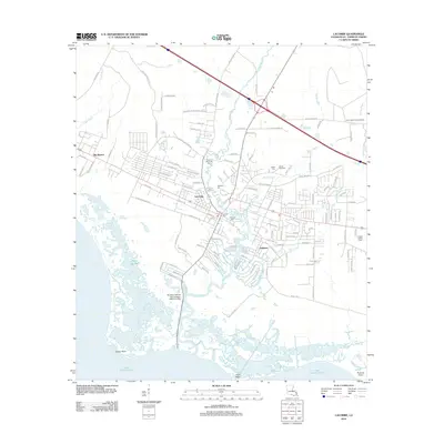
2012 Map of Lacombe
USGS Topo · Published 2012About this map
The northern shore of Lake Pontchartrain defines this coastal landscape in St. Tammany Parish, where the winding course of Lacombe Bayou meets the marshy edges of the lake. This 2012 survey illustrates the residential growth and infrastructure surrounding the communities of Lacombe, Big Branch, and Oaklawn. The map is particularly dense with genealogical sites, showing several family-named burial grounds such as Toomer Memorial Cem, Cousin Cem, and Williams Cem.
Find a feature on this map
114 named features on this map. Tap any name to fly to it.
Don’t see what you’re looking for? This feature index may not catch every label — zoom into the map to look around manually.
Map Details
Editions of this 2012 Lacombe Map
This is the sole edition of this map. No revisions or reprints were ever made.
Other maps of this area

1891 · Spanish Fort
USGS Topo · 1:62,500

1892 · Chef Menteur
USGS Topo · 1:62,500

1935 · Slidell
USGS Topo · 1:62,500

1935 · Covington
USGS Topo · 1:62,500

1936 · North Shore
USGS Topo · 1:31,680

1936 · South Point
USGS Topo · 1:31,680

1936 · Chef Menteur
USGS Topo · 1:62,500

1936 · Spanish Fort
USGS Topo · 1:62,500

1939 · Slidell
USGS Topo · 1:62,500

1939 · Covington
USGS Topo · 1:62,500