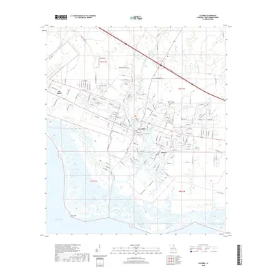
2018 Map of Lacombe
USGS Topo · Published 2018About this map
Lacombe and the surrounding marshlands of Saint Tammany Parish define this 2018 coastal study along the north shore of Lake Pontchartrain. The landscape is dominated by the intricate drainage of Lacombe Bayou, Big Branch Bayou, and Cypress Bayou, which flow through a network of wetlands toward Goose Point. This modern survey details the residential expansion of communities like Big Branch and Oaklawn, while preserving the locations of numerous family and local burial grounds. Several historic cemeteries are mapped, including Toomer Memorial Cem, Seghers Cem, and the dual Cousin James Cem Todd Cem. The map provides an essential look at how local infrastructure, such as Fish Hatchery Rd and Henry Keller Mem Park Ent, integrates with the sensitive bayou ecology of the Louisiana coast.
Find a feature on this map
161 named features on this map. Tap any name to fly to it.
Don’t see what you’re looking for? This feature index may not catch every label — zoom into the map to look around manually.
Map Details
Editions of this 2018 Lacombe Map
This is the sole edition of this map. No revisions or reprints were ever made.
Other maps of this area

1891 · Spanish Fort
USGS Topo · 1:62,500

1892 · Chef Menteur
USGS Topo · 1:62,500

1935 · Slidell
USGS Topo · 1:62,500

1935 · Covington
USGS Topo · 1:62,500

1936 · North Shore
USGS Topo · 1:31,680

1936 · South Point
USGS Topo · 1:31,680

1936 · Chef Menteur
USGS Topo · 1:62,500

1936 · Spanish Fort
USGS Topo · 1:62,500

1939 · Slidell
USGS Topo · 1:62,500

1939 · Covington
USGS Topo · 1:62,500