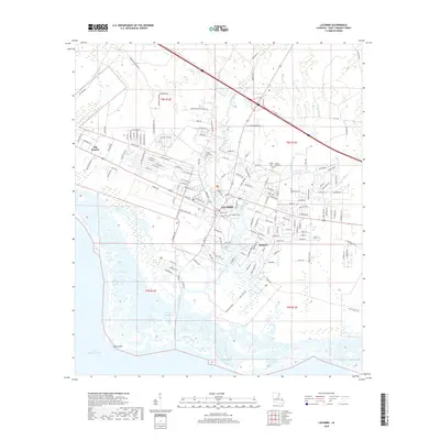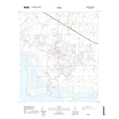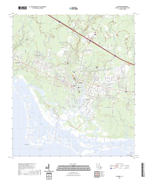
2024 Map of Lacombe
USGS Topo · Published 2024About this map
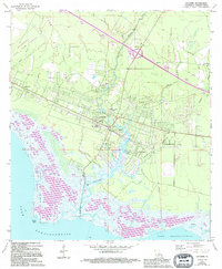
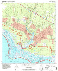
The coastal marshlands and residential pockets of St. Tammany Parish are documented here, where the Big Branch Marsh National Wildlife Refuge dominates the landscape leading to Lake Pontchartrain. The settlement of Lacombe serves as a central hub, surrounded by numerous family and community burial grounds including Lafontaine Cem, Toomer Cem, and Louis Cousin Cem, which provide significant value for genealogical research in this part of Louisiana. The area is defined by its complex hydrology, with Lacombe Bayou and Cane Bayou cutting through the wetlands toward Goose Point. These waterways and the surrounding marshes create a distinct pattern of development, with neighborhoods like Oaklawn and Big Branch situated on slightly higher ground or along established corridors like Fish Hatchery Rd. The map illustrates the contemporary balance between conservation lands and local community expansion.
Find a feature on this map
167 named features on this map. Tap any name to fly to it.
Don’t see what you’re looking for? This feature index may not catch every label — zoom into the map to look around manually.
Map Details
Editions of this 2024 Lacombe Map
This is the sole edition of this map. No revisions or reprints were ever made.
Historical Maps of Big Branch Through Time
7 maps found