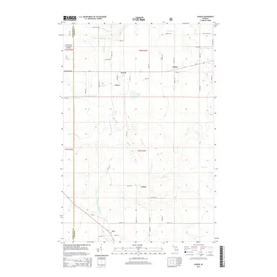
2014 Map of Ladoga
USGS Topo · Published 2014About this map
The Hiawatha National Forest blankets this Upper Peninsula landscape, where the headwaters of the Laughing Whitefish River and West Branch Whitefish River carve through the terrain. The map details a network of small settlements and family-named roads that reflect the area's rural heritage. Small hamlets like Sundell, Rumely, and Ladoga are connected by a grid of thoroughfares such as Biekkola Rd, Kolpack Rd, and Nummela Rd, indicating a history of timber and perhaps Finnish-American settlement patterns common to this part of Alger and Marquette counties.
Find a feature on this map
62 named features on this map. Tap any name to fly to it.
Don’t see what you’re looking for? This feature index may not catch every label — zoom into the map to look around manually.
Map Details
Editions of this 2014 Ladoga Map
This is the sole edition of this map. No revisions or reprints were ever made.
Other maps of this area

1932 · Skandia SW
USGS Topo · 1:31,680

1932 · Rock NE
USGS Topo · 1:31,680

1932 · Skandia SE
USGS Topo · 1:31,680

1932 · Skandia NE
USGS Topo · 1:31,680

1932 · Rock NW
USGS Topo · 1:31,680

1950 · Skandia NW
USGS Topo · 1:31,680

1958 · Trenary
USGS Topo · 1:62,500

1958 · Au Train
USGS Topo · 1:62,500

1958 · Skandia
USGS Topo · 1:62,500
1958 · Rock
USGS Topo · 1:62,500