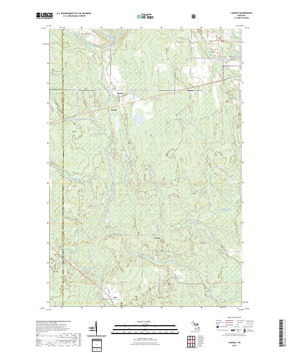
2023 Map of Ladoga
USGS Topo · Published 2023About this map
Hiawatha National Forest occupies the western stretches of this landscape, where the headwaters of several Upper Peninsula waterways originate. The terrain is defined by a dense network of tributaries including the East Branch Sand River, Laughing Whitefish River, and McMaster Creek. These watercourses create a complex drainage pattern through the townships of t46n r22w and t45n r22w, shaping the development of the small settlements clustered along the primary roadways.
Find a feature on this map
57 named features on this map. Tap any name to fly to it.
Don’t see what you’re looking for? This feature index may not catch every label — zoom into the map to look around manually.
Map Details
Editions of this 2023 Ladoga Map
This is the sole edition of this map. No revisions or reprints were ever made.
Other maps of this area
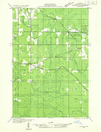
1932 · Skandia SW
USGS Topo · 1:31,680
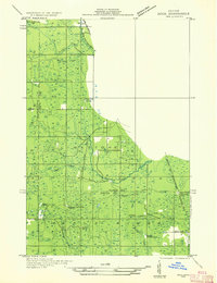
1932 · Rock NE
USGS Topo · 1:31,680
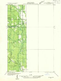
1932 · Skandia SE
USGS Topo · 1:31,680
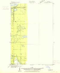
1932 · Skandia NE
USGS Topo · 1:31,680
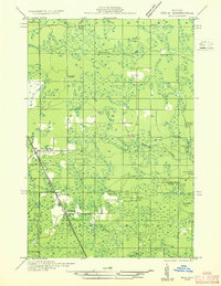
1932 · Rock NW
USGS Topo · 1:31,680
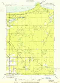
1950 · Skandia NW
USGS Topo · 1:31,680
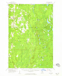
1958 · Trenary
USGS Topo · 1:62,500
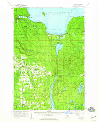
1958 · Au Train
USGS Topo · 1:62,500
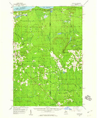
1958 · Skandia
USGS Topo · 1:62,500
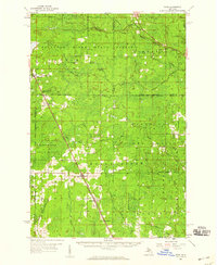
1958 · Rock
USGS Topo · 1:62,500