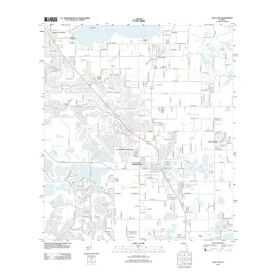
2012 Map of Lady Lake
USGS Topo · Published 2012About this map
Lake Weir anchors the northern landscape of this Central Florida corridor, where the transition from lakeside communities like Eatons Beach and Sunset Harbor to planned residential developments is clearly visible. The map shows the dense residential growth of Orange Blossom Hills and Orange Blossom Hills South, punctuated by local landmarks like The Villages Water Tower. This era of development is contrasted with established rural sites, including Forest Hill Cem and Stanton Cem, which provide essential grounding for local genealogists.
Find a feature on this map
56 named features on this map. Tap any name to fly to it.
Don’t see what you’re looking for? This feature index may not catch every label — zoom into the map to look around manually.
Map Details
Editions of this 2012 Lady Lake Map
This is the sole edition of this map. No revisions or reprints were ever made.
Other maps of this area

1893 · Panasoffkee
USGS Topo · 1:62,500

1895 · Panasoffkee
USGS Topo · 1:62,500

1895 · Ocala
USGS Topo · 1:62,500

1954 · Gainesville
USGS Topo · 1:250,000

1954 · Daytona Beach
USGS Topo · 1:250,000

1955 · Plant City
USGS Topo · 1:250,000

1955 · Orlando
USGS Topo · 1:250,000

1957 · Orlando
USGS Topo · 1:250,000

1958 · Orlando
USGS Topo · 1:250,000

1958 · Daytona Beach
USGS Topo · 1:250,000