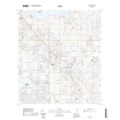
2021 Map of Lady Lake
USGS Topo · Published 2021About this map
Lady Lake and the rapidly developing planned communities of The Villages define this Central Florida landscape where Marion, Lake, and Sumter Counties meet. The map reveals a high density of specialized land use, from the residential clusters of Orange Blossom Hills and Fruitland Park to the numerous small lakes such as Lake Hattie, Lake Hermosa, and Cherry Lake that are integrated into the modern community layout.
Find a feature on this map
63 named features on this map. Tap any name to fly to it.
Don’t see what you’re looking for? This feature index may not catch every label — zoom into the map to look around manually.
Map Details
Editions of this 2021 Lady Lake Map
This is the sole edition of this map. No revisions or reprints were ever made.
Other maps of this area

1893 · Panasoffkee
USGS Topo · 1:62,500

1895 · Panasoffkee
USGS Topo · 1:62,500

1895 · Ocala
USGS Topo · 1:62,500

1954 · Gainesville
USGS Topo · 1:250,000

1954 · Daytona Beach
USGS Topo · 1:250,000

1955 · Plant City
USGS Topo · 1:250,000

1955 · Orlando
USGS Topo · 1:250,000

1957 · Orlando
USGS Topo · 1:250,000

1958 · Orlando
USGS Topo · 1:250,000

1958 · Daytona Beach
USGS Topo · 1:250,000