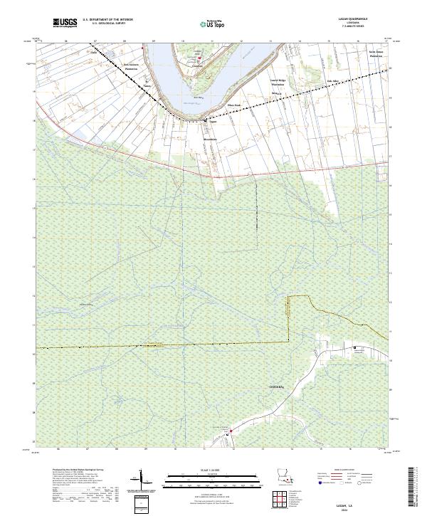
2024 Map of Lagan
USGS Topo · Published 2024About this map
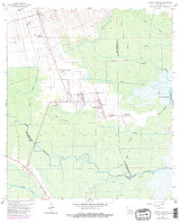
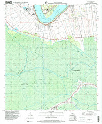
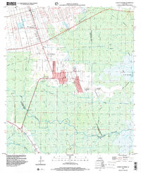
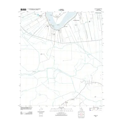
Mississippi River bends sharply through this region of south Louisiana, anchoring a landscape where historic riverfront estates meet the expansive wetlands of the Acadian back country. The river's banks are lined with storied sites such as Bon Secours Plantation, Oak Alley, and Laurel Ridge Plantation, reflecting the distinct long-lot land patterns of the colonial era. In Convent, the Saint James Parish Courthouse serves as a civic anchor near College Point. Moving south away from the river, the terrain transitions into a dense network of waterways including Bayou Traverse and Bayou Petit Chackbay. These wetlands are home to remote settlements like Chackbay and secluded burial sites such as the Bayou Heron Graveyard, illustrating the enduring relationship between the community and the bayou environment.
Find a feature on this map
65 named features on this map. Tap any name to fly to it.
Don’t see what you’re looking for? This feature index may not catch every label — zoom into the map to look around manually.
Map Details
Editions of this 2024 Lagan Map
This is the sole edition of this map. No revisions or reprints were ever made.
Historical Maps of Pikes Peak Through Time
17 maps found

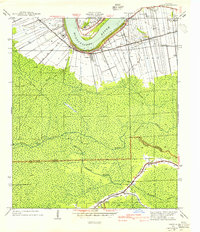
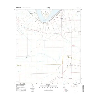
1932 Lac Des Allemands NW
St. James Parish, LA
1932 Thibodaux NE
St. James Parish, LA
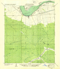
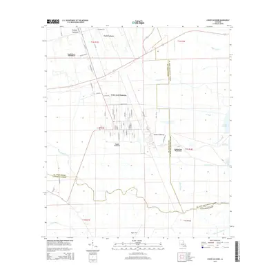
1940 Lagan
St. James Parish, LA
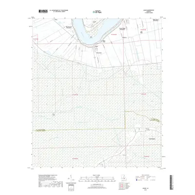
1962 Lagan
St. James Parish, LA
1962 Lower Vacherie
St. James Parish, LA
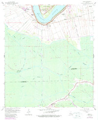
1998 Lagan
St. James Parish, LA
1998 Lower Vacherie
St. James Parish, LA
2012 Lagan
St. James Parish, LA
2012 Lower Vacherie
St. James Parish, LA
2015 Lagan
St. James Parish, LA
2015 Lower Vacherie
St. James Parish, LA
2018 Lagan
St. James Parish, LA
2018 Lower Vacherie
St. James Parish, LA
2020 Lagan
St. James Parish, LA
2020 Lower Vacherie
St. James Parish, LA
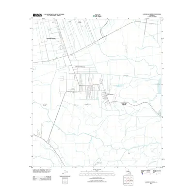
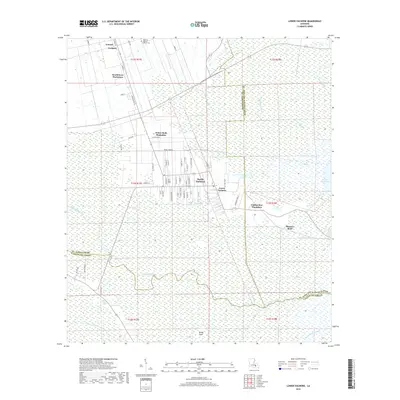
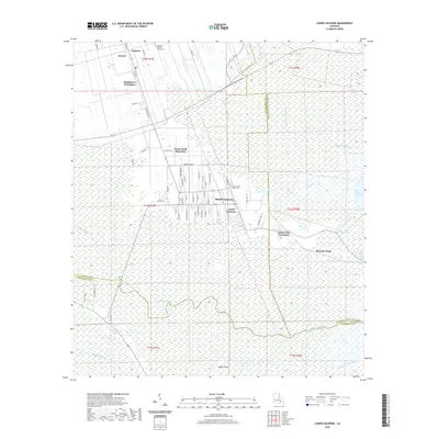
2024 Lagan
St. James Parish, LA
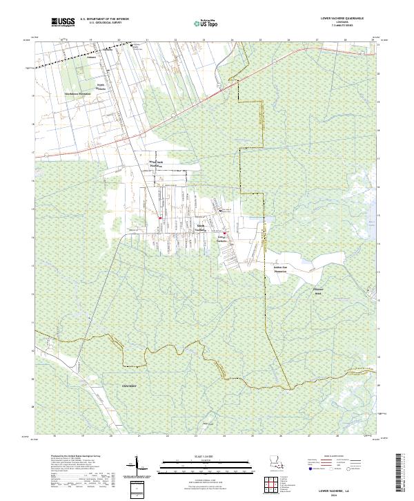
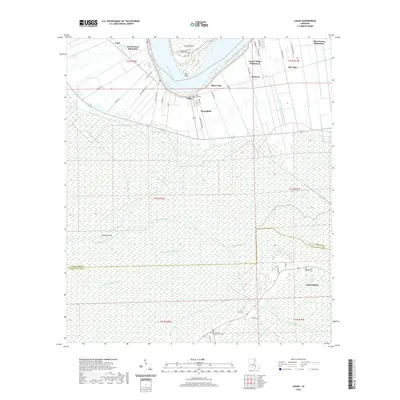
2024 Lower Vacherie
St. James Parish, LA