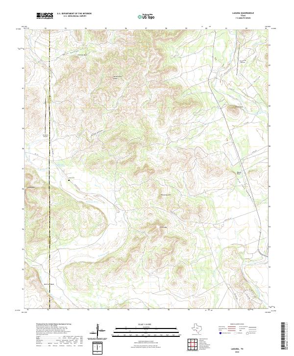
2022 Map of Laguna
USGS Topo · Published 2022About this map
W Nueces River carves a dramatic path through this section of the Edwards Plateau, where the county line between Kinney Co and Uvalde Co follows the rugged canyon breaks. The landscape is defined by its water-carved geology, featuring prominent landmarks such as Chimney Bluff, Housetop Mtn, and the distinctive Bell Sow Bend. Sparse ranching infrastructure is anchored by the Yancy Cem and remote landing strips like Ox Ranch Airport. These features suggest a history of isolated cattle ranching and land management in a terrain where water sources like Edwards Waterhole were essential. The map reveals the intricate network of ranch roads, including RM 334, that navigate through deep drainage basins such as Rough Hollow and Open Hollow.
Find a feature on this map
35 named features on this map. Tap any name to fly to it.
Don’t see what you’re looking for? This feature index may not catch every label — zoom into the map to look around manually.
Map Details
Editions of this 2022 Laguna Map
This is the sole edition of this map. No revisions or reprints were ever made.
Other maps of this area

1893 · Nueces
USGS Topo · 1:125,000

1896 · Nueces
USGS Topo · 1:125,000

1896 · Brackett
USGS Topo · 1:125,000

1897 · Brackett
USGS Topo · 1:125,000

1898 · Uvalde
USGS Topo · 1:125,000

1899 · Uvalde
USGS Topo · 1:125,000

1938 · Turkey Mountain
USGS Topo · 1:48,000

1943 · Turkey Mountain
USGS Topo · 1:62,500

1944 · Barksdale
USGS Topo · 1:62,500

1954 · San Antonio
USGS Topo · 1:250,000