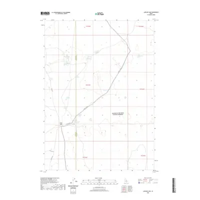
2020 Map of Laidlaw Lake
USGS Topo · Published 2020About this map
Craters of the Moon National Preserve occupies the eastern portion of this high desert landscape, characterized by the unique volcanic geology of the Snake River Plain. The terrain is marked by a complex system of water management, visible through numerous small bodies of water such as Bluebird Reservoir, Blackbird Reservoir, and Bugler Reservoir that serve this arid region. These basins are essential for the livestock operations that define the area's land use.
Find a feature on this map
19 named features on this map. Tap any name to fly to it.
Don’t see what you’re looking for? This feature index may not catch every label — zoom into the map to look around manually.
Map Details
Editions of this 2020 Laidlaw Lake Map
This is the sole edition of this map. No revisions or reprints were ever made.
Other maps of this area

1954 · Pocatello
USGS Topo · 1:250,000

1955 · Idaho Falls
USGS Topo · 1:250,000

1958 · Idaho Falls
USGS Topo · 1:250,000

1958 · Pocatello
USGS Topo · 1:250,000

1972 · Shale Butte
USGS Topo · 1:24,000

1972 · Community Lake
USGS Topo · 1:24,000

1972 · Laidlaw Lake
USGS Topo · 1:24,000

1972 · Bear Den Butte
USGS Topo · 1:24,000

1972 · Laidlaw Butte
USGS Topo · 1:24,000

1972 · Bottleneck Lake
USGS Topo · 1:24,000