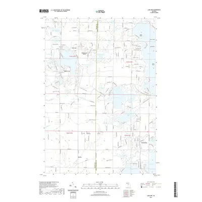
2019 Map of Lake Ann
USGS Topo · Published 2019About this map
Lake Ann and the surrounding glacial lake country sit at the boundary of Benzie and Grand Traverse counties, characterized by a dense network of water bodies and small settlements. The village of Lake Ann is a central focal point, accompanied by residential developments like Hardwood Acres and Maple Grove. To the south, the community of Interlochen is situated near the shores of Green Lake and Duck Lake, while Bendon serves as a southern anchor for the township area.
Find a feature on this map
174 named features on this map. Tap any name to fly to it.
Don’t see what you’re looking for? This feature index may not catch every label — zoom into the map to look around manually.
Map Details
Editions of this 2019 Lake Ann Map
This is the sole edition of this map. No revisions or reprints were ever made.
Other maps of this area

1954 · Traverse City
USGS Topo · 1:250,000

1956 · Kingsley
USGS Topo · 1:62,500

1956 · Thompsonville
USGS Topo · 1:62,500

1957 · Traverse City
USGS Topo · 1:62,500

1957 · Maple City
USGS Topo · 1:62,500

1958 · Traverse City
USGS Topo · 1:250,000

1976 · Thompsonville NE
USGS Topo · 1:24,000
1976 · Thompsonville SW
USGS Topo · 1:24,000

1976 · Thompsonville NW
USGS Topo · 1:24,000

1976 · Thompsonville SE
USGS Topo · 1:24,000
Featured Places
- Long Lake Charter Township, Long Lake Township
- Long Lake Township, MI
- Green Lake Township, MI
- Interlochen, Green Lake Township
- Hardwood Acres, MI