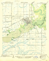
1954 Map of Lake Arthur
USGS Topo · Published 1954About this map
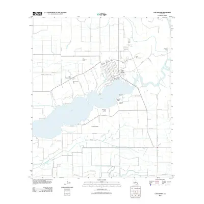
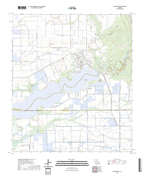
Lake Arthur sits at the heart of this coastal prairie landscape, where the Mermentau River meets the expansive lake. This 1954 edition, based on 1933 field work and aerial photography, reveals a region defined by its water management and agricultural infrastructure. Numerous pump houses are scattered along the Klondike Canal and Thornwell Drainage Canal, reflecting the intensive irrigation required for the local rice-growing economy. The town site itself is shown with a detailed street grid adjacent to the Southern Pacific railroad line, serving as a vital transport link for the parish.
Find a feature on this map
27 named features on this map. Tap any name to fly to it.
Don’t see what you’re looking for? This feature index may not catch every label — zoom into the map to look around manually.
Map Details
Editions of this 1954 Lake Arthur Map
This is the sole edition of this map. No revisions or reprints were ever made.
Historical Maps of Lake Arthur Through Time
9 maps found
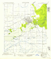
1946 Lake Arthur
Jefferson Davis Parish, LA
1954 Lake Arthur
Jefferson Davis Parish, LA
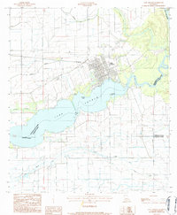
1984 Lake Arthur
Jefferson Davis Parish, LA
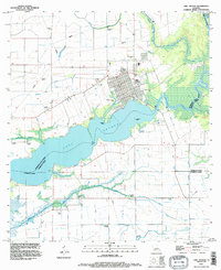
1994 Lake Arthur
Jefferson Davis Parish, LA
2012 Lake Arthur
Jefferson Davis Parish, LA
2015 Lake Arthur
Jefferson Davis Parish, LA
2018 Lake Arthur
Jefferson Davis Parish, LA
2020 Lake Arthur
Jefferson Davis Parish, LA
2024 Lake Arthur
Jefferson Davis Parish, LA