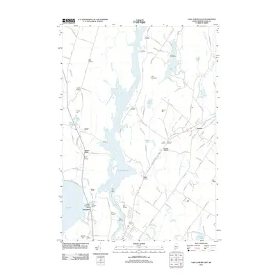
2011 Map of Lake Auburn East
USGS Topo · Published 2011About this map
The Androscoggin River serves as the central artery for this part of Maine, widening significantly into Gulf Island Pond behind the Gulf Island Dam. This hydrological landscape defines the boundary between the growing outskirts of Auburn and the more rural reaches of Greene and South Turner. The area is notably dense with lineage-rich burial grounds, including the Saint Peters Cemetery near the riverbank and the Upper Street Cemetery to the northwest, providing significant data for genealogical research.
Find a feature on this map
129 named features on this map. Tap any name to fly to it.
Don’t see what you’re looking for? This feature index may not catch every label — zoom into the map to look around manually.
Map Details
Editions of this 2011 Lake Auburn East Map
This is the sole edition of this map. No revisions or reprints were ever made.
Other maps of this area

1908 · Poland
USGS Topo · 1:62,500

1908 · Lewiston
USGS Topo · 1:62,500

1910 · Livermore
USGS Topo · 1:62,500

1911 · Buckfield
USGS Topo · 1:62,500

1912 · Livermore
USGS Topo · 1:62,500

1913 · Buckfield
USGS Topo · 1:62,500

1940 · Poland
USGS Topo · 1:62,500

1941 · Livermore
USGS Topo · 1:62,500

1942 · Lewiston
USGS Topo · 1:62,500

1942 · Buckfield
USGS Topo · 1:62,500