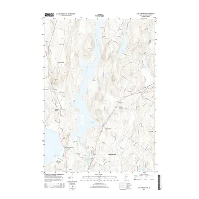
2014 Map of Lake Auburn East
USGS Topo · Published 2014About this map
Gulf Island Pond and the Androscoggin River anchor this landscape, dividing the communities of Auburn Plains and South Turner to the west from Greene Corner and Foggs Corner to the east. The river's path is heavily marked by water management and recreation, featuring the Androscoggin River Reservoir and Auburn Municipal Beach on the shores of Lake Auburn. The terrain is defined by distinct elevations like Clark Mountain and Merrill Hill, which overlook a network of smaller water bodies including Berry Pond and No Name Pond.
Find a feature on this map
119 named features on this map. Tap any name to fly to it.
Don’t see what you’re looking for? This feature index may not catch every label — zoom into the map to look around manually.
Map Details
Editions of this 2014 Lake Auburn East Map
This is the sole edition of this map. No revisions or reprints were ever made.
Other maps of this area

1908 · Poland
USGS Topo · 1:62,500

1908 · Lewiston
USGS Topo · 1:62,500

1910 · Livermore
USGS Topo · 1:62,500

1911 · Buckfield
USGS Topo · 1:62,500

1912 · Livermore
USGS Topo · 1:62,500

1913 · Buckfield
USGS Topo · 1:62,500

1940 · Poland
USGS Topo · 1:62,500

1941 · Livermore
USGS Topo · 1:62,500

1942 · Lewiston
USGS Topo · 1:62,500

1942 · Buckfield
USGS Topo · 1:62,500