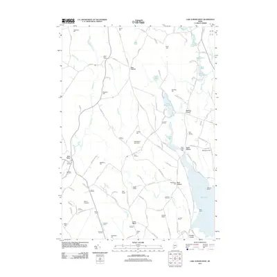
2011 Map of Lake Auburn West
USGS Topo · Published 2011About this map
The Basin and its northern shoreline define the eastern edge of this landscape, where the North Auburn Dam regulates the waters of Lake Auburn. The terrain to the west is a complex network of ridges and hills, including Woodward Mountain and Bradbury Hill, separated by numerous small waterways like Bog Brook and Indian Brook. The 2011 survey reveals a mix of recreational and rural development, notably the Lost Valley Ski Area on Perkins Ridge and the Hebron Pines Campground in the north.
Find a feature on this map
125 named features on this map. Tap any name to fly to it.
Don’t see what you’re looking for? This feature index may not catch every label — zoom into the map to look around manually.
Map Details
Editions of this 2011 Lake Auburn West Map
This is the sole edition of this map. No revisions or reprints were ever made.
Other maps of this area

1908 · Poland
USGS Topo · 1:62,500

1908 · Lewiston
USGS Topo · 1:62,500

1910 · Livermore
USGS Topo · 1:62,500

1911 · Buckfield
USGS Topo · 1:62,500

1912 · Livermore
USGS Topo · 1:62,500

1913 · Buckfield
USGS Topo · 1:62,500

1940 · Poland
USGS Topo · 1:62,500

1941 · Livermore
USGS Topo · 1:62,500

1942 · Lewiston
USGS Topo · 1:62,500

1942 · Buckfield
USGS Topo · 1:62,500