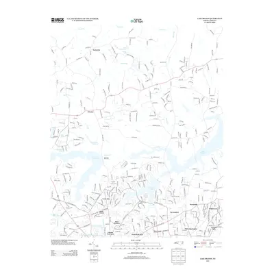
2013 Map of Lake Brandt
USGS Topo · Published 2013About this map
Lake Brandt and the neighboring Lake Townsend dominate this landscape north of Greensboro, serving as critical reservoirs for the Piedmont region. The shoreline of Lake Brandt is intricately mapped, showing the Greensboro Waterworks and various recreational areas like Camp Carlson and Greensboro Country Park. The terrain is defined by the Reedy Fork and its tributaries, including Mears Fork and Horsepen Cr, which feed the larger impoundments.
Find a feature on this map
313 named features on this map. Tap any name to fly to it.
Don’t see what you’re looking for? This feature index may not catch every label — zoom into the map to look around manually.
Map Details
Editions of this 2013 Lake Brandt Map
This is the sole edition of this map. No revisions or reprints were ever made.
Other maps of this area

1951 · Guilford
USGS Topo · 1:24,000

1951 · Lake Brandt
USGS Topo · 1:24,000

1951 · Browns Summit
USGS Topo · 1:24,000

1951 · Greensboro
USGS Topo · 1:24,000

1952 · Mc Leansville
USGS Topo · 1:24,000

1953 · Greensboro
USGS Topo · 1:250,000

1954 · Greensboro
USGS Topo · 1:250,000

1962 · Greensboro
USGS Topo · 1:250,000

1966 · Greensboro
USGS Topo · 1:250,000

1969 · Summerfield
USGS Topo · 1:24,000