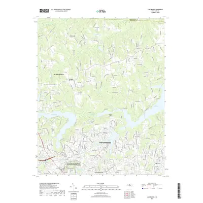
2019 Map of Lake Brandt
USGS Topo · Published 2019About this map
Guilford Courthouse National Military Park anchors the southern portion of this region, preserving the site of a pivotal Revolutionary War battle amidst the suburban expansion of northern Greensboro. The landscape is defined by a series of major reservoirs, including Lake Brandt, Lake Townsend, and Richland Lake, which were created to support the growing Piedmont population. These water bodies are fed by the Haw River and its tributaries like Mears Fork and Reedy Fork, creating a winding network of shorelines that intersect with residential developments and local landmarks such as Air Harbor Airport.
Find a feature on this map
260 named features on this map. Tap any name to fly to it.
Don’t see what you’re looking for? This feature index may not catch every label — zoom into the map to look around manually.
Map Details
Editions of this 2019 Lake Brandt Map
This is the sole edition of this map. No revisions or reprints were ever made.
Other maps of this area

1951 · Guilford
USGS Topo · 1:24,000

1951 · Lake Brandt
USGS Topo · 1:24,000

1951 · Browns Summit
USGS Topo · 1:24,000

1951 · Greensboro
USGS Topo · 1:24,000

1952 · Mc Leansville
USGS Topo · 1:24,000

1953 · Greensboro
USGS Topo · 1:250,000

1954 · Greensboro
USGS Topo · 1:250,000

1962 · Greensboro
USGS Topo · 1:250,000

1966 · Greensboro
USGS Topo · 1:250,000

1969 · Summerfield
USGS Topo · 1:24,000