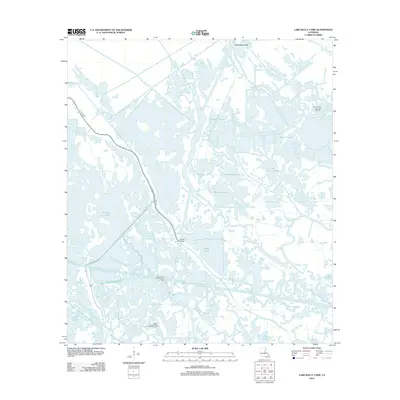
2012 Map of Lake Bully Camp
USGS Topo · Published 2012About this map
The low-lying wetlands of Terrebonne Parish are defined by an intricate network of natural waterways and industrial infrastructure in the early 21st century. The map illustrates how human activity integrates with the marsh, notably through the development of the Bully Camp Oil and Gas Field and the Bayou Point Au Chien Gas Field. These energy sites are situated amidst large water bodies such as Lake Bully Camp and Wonder Lake.
Find a feature on this map
16 named features on this map. Tap any name to fly to it.
Don’t see what you’re looking for? This feature index may not catch every label — zoom into the map to look around manually.
Map Details
Editions of this 2012 Lake Bully Camp Map
This is the sole edition of this map. No revisions or reprints were ever made.
Other maps of this area

1892 · Cut-Off
USGS Topo · 1:62,500

1892 · Houma
USGS Topo · 1:62,500

1894 · Lake Felicity
USGS Topo · 1:62,500

1894 · Dulac
USGS Topo · 1:62,500

1932 · Houma SE
USGS Topo · 1:31,680

1935 · Bourbeux
USGS Topo · 1:31,680

1935 · Viguerie Canal
USGS Topo · 1:31,680

1935 · Montegut
USGS Topo · 1:31,680

1935 · Bay Courant
USGS Topo · 1:31,680

1935 · Golden Meadow
USGS Topo · 1:31,680