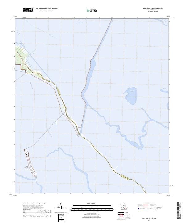
2024 Map of Lake Bully Camp
USGS Topo · Published 2024About this map
Isle de Jean Charles occupies a thin ridge of land at the edge of the Gulf, where the transition from freshwater bayous to saltwater marsh is meticulously documented. The landscape is defined by the winding course of Bayou Pointe au Chien and the deep linear cuts of the Viguerie Canal and Saint Louis Canal, reflecting decades of hydrological modification. This coastal stretch along the boundary of Terrebonne Parish and Lafourche Parish is a landscape in flux, where the Isle de Jean Charles Cem and a handful of roads like Pointe Aux Chenes Rd mark the persistent presence of residents against an encroaching sea. Internal waterways like Grand Bayou and the open water of Lake Bully Camp show the complex network of channels that have historically supported the region's fishing and maritime traditions.
Find a feature on this map
23 named features on this map. Tap any name to fly to it.
Don’t see what you’re looking for? This feature index may not catch every label — zoom into the map to look around manually.
Map Details
Editions of this 2024 Lake Bully Camp Map
This is the sole edition of this map. No revisions or reprints were ever made.
Other maps of this area

1892 · Cut-Off
USGS Topo · 1:62,500

1892 · Houma
USGS Topo · 1:62,500

1894 · Lake Felicity
USGS Topo · 1:62,500

1894 · Dulac
USGS Topo · 1:62,500

1932 · Houma SE
USGS Topo · 1:31,680

1935 · Bourbeux
USGS Topo · 1:31,680

1935 · Viguerie Canal
USGS Topo · 1:31,680

1935 · Montegut
USGS Topo · 1:31,680

1935 · Bay Courant
USGS Topo · 1:31,680

1935 · Golden Meadow
USGS Topo · 1:31,680