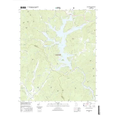
2017 Map of Lake Burton
USGS Topo · Published 2017About this map
Lake Burton dominates the landscape of the Blue Ridge foothills, its complex shoreline defined by fingers of water such as Moccasin Creek Cove and Timpson Cove. This 2017 study illustrates the modern interface between recreational waters and the protected lands of the Chattahoochee National Forest. The map captures a high-elevation terrain where the Tallulah River feeds the northern reaches of the lake while the Soquee River and its forks emerge from ridges to the southwest, including Hickorynut Ridge and Goshen Mtn.
Find a feature on this map
97 named features on this map. Tap any name to fly to it.
Don’t see what you’re looking for? This feature index may not catch every label — zoom into the map to look around manually.
Map Details
Editions of this 2017 Lake Burton Map
This is the sole edition of this map. No revisions or reprints were ever made.
Other maps of this area

1886 · Dahlonega
USGS Topo · 1:125,000

1886 · Walhalla
USGS Topo · 1:125,000

1892 · Dahlonega
USGS Topo · 1:125,000

1892 · Walhalla
USGS Topo · 1:125,000

1896 · Walhalla
USGS Topo · 1:125,000

1896 · Dahlonega
USGS Topo · 1:125,000

1903 · Dahlonega
USGS Topo · 1:125,000

1935 · Osborn
USGS Topo · 1:24,000

1935 · Dillard
USGS Topo · 1:24,000

1935 · Hightower Bald
USGS Topo · 1:24,000