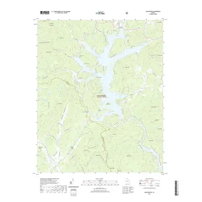
2020 Map of Lake Burton
USGS Topo · Published 2020About this map
Lake Burton and the surrounding reaches of the Chattahoochee National Forest dominate this landscape at the intersection of Rabun and Habersham counties. The high-altitude terrain is marked by numerous peaks like Charlie Mtn and Glassy Mtn, while the intricate shoreline of the lake creates a network of coves including Dicks Creek Cove, Timpson Cove, and Cherokee Cove. Evidence of early 20th-century industry persists through infrastructure like Blalock Gold Mine Rd, pointing to the region's mining history.
Find a feature on this map
105 named features on this map. Tap any name to fly to it.
Don’t see what you’re looking for? This feature index may not catch every label — zoom into the map to look around manually.
Map Details
Editions of this 2020 Lake Burton Map
This is the sole edition of this map. No revisions or reprints were ever made.
Other maps of this area

1886 · Dahlonega
USGS Topo · 1:125,000

1886 · Walhalla
USGS Topo · 1:125,000

1892 · Dahlonega
USGS Topo · 1:125,000

1892 · Walhalla
USGS Topo · 1:125,000

1896 · Walhalla
USGS Topo · 1:125,000

1896 · Dahlonega
USGS Topo · 1:125,000

1903 · Dahlonega
USGS Topo · 1:125,000

1935 · Osborn
USGS Topo · 1:24,000

1935 · Dillard
USGS Topo · 1:24,000

1935 · Hightower Bald
USGS Topo · 1:24,000