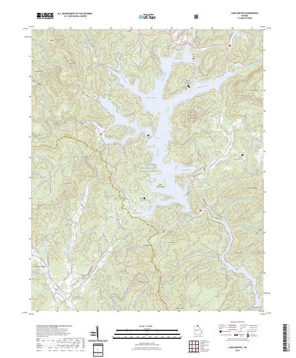
2024 Map of Lake Burton
USGS Topo · Published 2024About this map
Lake Burton dominates this portion of the Chattahoochee National Forest, where the flooded valleys of the Tallulah River and Timpson Creek create a complex shoreline of deep coves and islands. The map documents a landscape of high ridges and isolated mountain peaks, including Hellhole Mtn and Glassy Mtn, that ring the central reservoir.
Find a feature on this map
152 named features on this map. Tap any name to fly to it.
Don’t see what you’re looking for? This feature index may not catch every label — zoom into the map to look around manually.
Map Details
Editions of this 2024 Lake Burton Map
This is the sole edition of this map. No revisions or reprints were ever made.
Other maps of this area

1886 · Dahlonega
USGS Topo · 1:125,000

1886 · Walhalla
USGS Topo · 1:125,000

1892 · Dahlonega
USGS Topo · 1:125,000

1892 · Walhalla
USGS Topo · 1:125,000

1896 · Walhalla
USGS Topo · 1:125,000

1896 · Dahlonega
USGS Topo · 1:125,000

1903 · Dahlonega
USGS Topo · 1:125,000

1935 · Osborn
USGS Topo · 1:24,000

1935 · Dillard
USGS Topo · 1:24,000

1935 · Hightower Bald
USGS Topo · 1:24,000